
X


.png)


Are you managing critical infrastructure with disconnected data, spreadsheets, or even paper records? CBS² helps communities and utilities modernize their operations through GIS and Asset Management systems that centralize data, improve decision-making, and increase efficiency.
Our team brings decades of experience in GIS and infrastructure management, helping you understand what you have, how it performs, and how to plan for the future. From initial setup to long-term system expansion, we provide practical, scalable solutions tailored to your operations.
At CBS², we connect your data—from utilities and roads to facilities and natural assets—into a single, easy-to-use system. By linking data to mapping tools, your team gains real-time visibility into infrastructure, maintenance activities, and system performance.
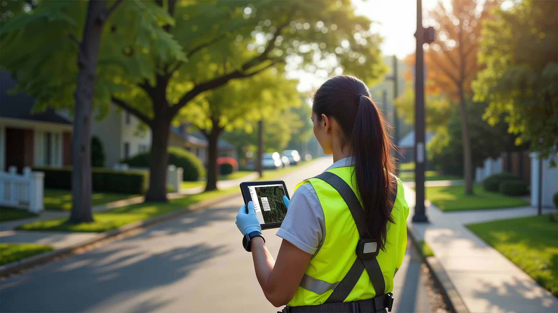
We design systems that work for your staff—not against them. Whether in the office or the field, your team can access, edit, and manage data from any device, improving workflows and reducing reliance on paper or disconnected tools.
With powerful querying, reporting, and visualization tools, GIS allows you to quickly answer questions, identify needs, and support budgeting and capital improvement planning with confidence.
Capture the knowledge of long-term staff and store it in a centralized system. Reduce risk associated with turnover and ensure your community’s operational knowledge is preserved for the future.
Asset Management systems typically deliver a strong return on investment, often within 2–5 years depending on system complexity. Smaller systems can see immediate benefits, while larger systems provide long-term operational efficiencies.
CBS² helps you move from reactive operations to proactive management—giving your team the tools to work smarter, respond faster, and plan with confidence.

CBS² provides accurate land surveying services for infrastructure, development, and construction projects.
Read moreCBS² provides agricultural engineering services focused on efficient facilities, infrastructure, and operational improvements.
Read moreCBS² provides water system engineering focused on reliable infrastructure, treatment, distribution, and long-term performance.
Read more